

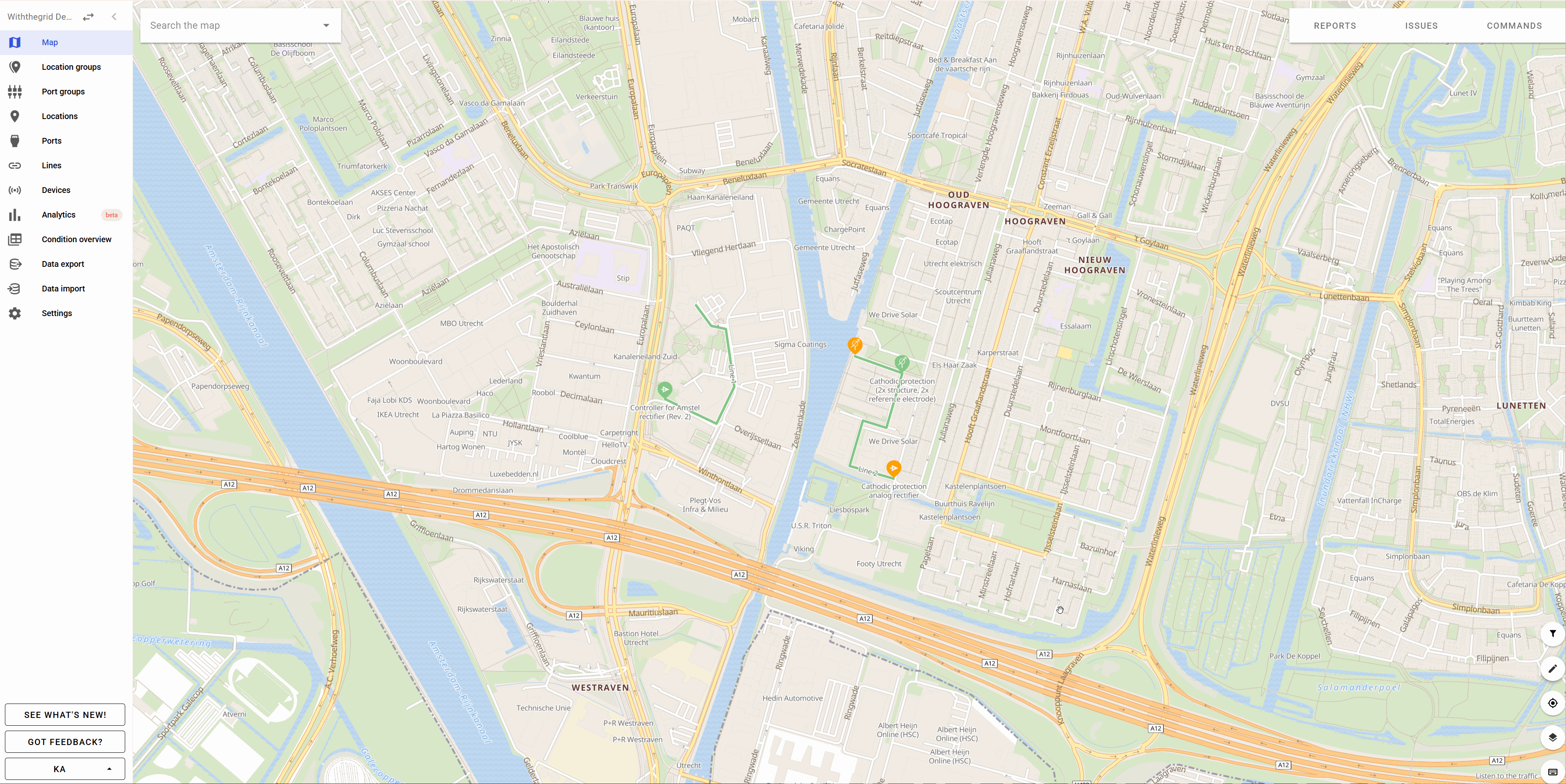
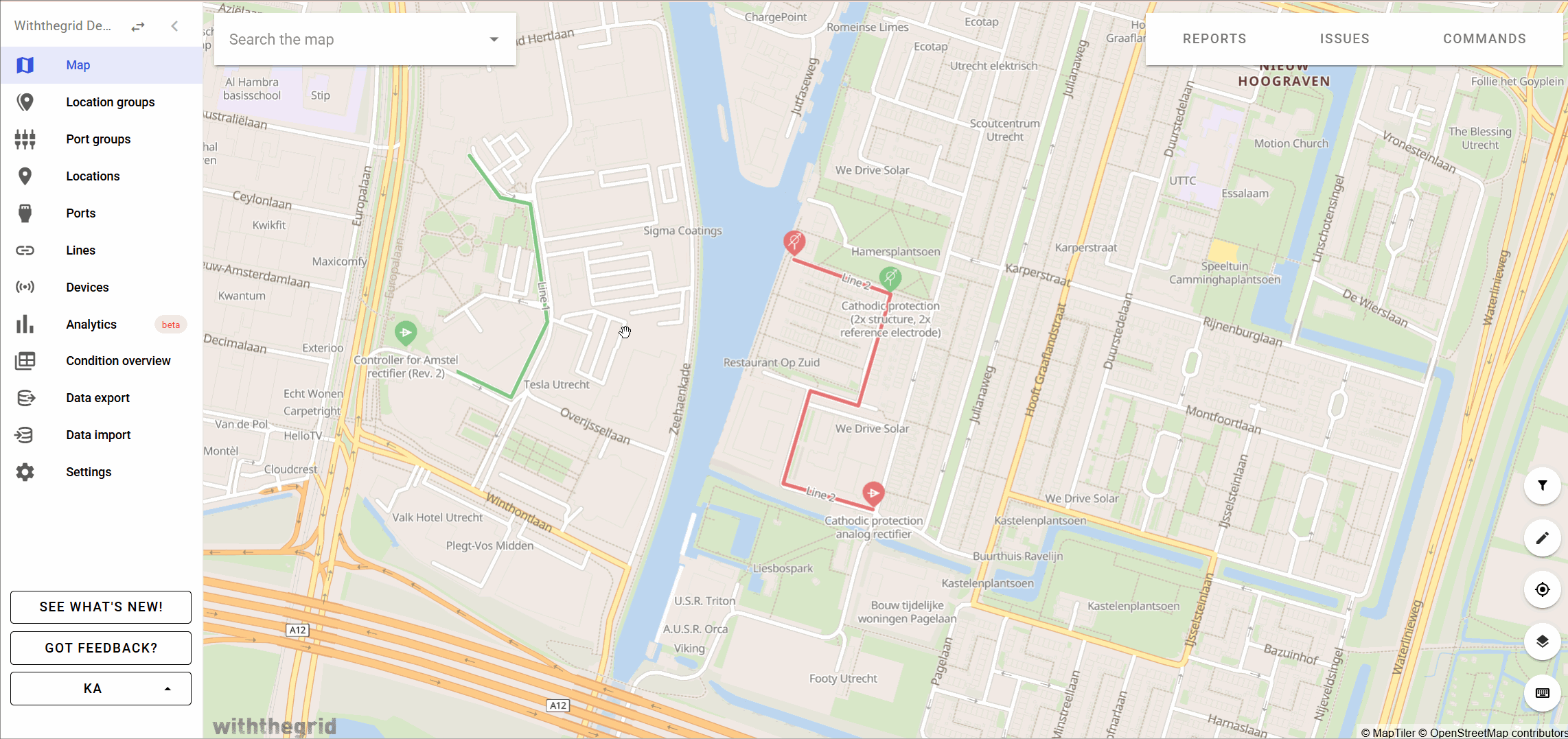
Lines
One of the advantages of having a map as central overview is that lines can also be added. In most cases lines represent pipelines or cables but can also represent a railroad track or road. A line can be added on the map manually or loaded via an API with a GIS system. The platform will automatically calculate the length of a segment which is drawn (or imported) on the map.
lines_2025
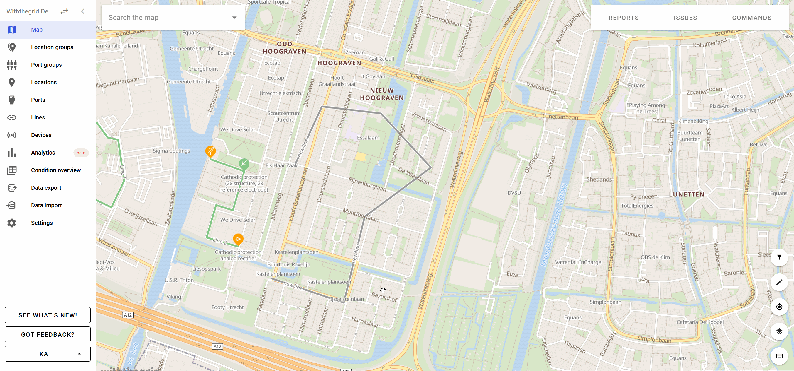
A line segment can be edited by selecting the pen icon (Add and edit locations and lines) and by clicking on Move locations and/or lines. You can now click on a line to be edited. A user can move or delete nodes. It is also possible to create new nodes as shown in the how-to video on lines.
Each line shows the list of connected locations.
You can learn more about how to create and edit lines, or how to connect lines to locations in our how-to videos.
How-to videos
Watch the video on Youtube
Watch the video on Youtube